
CAYES
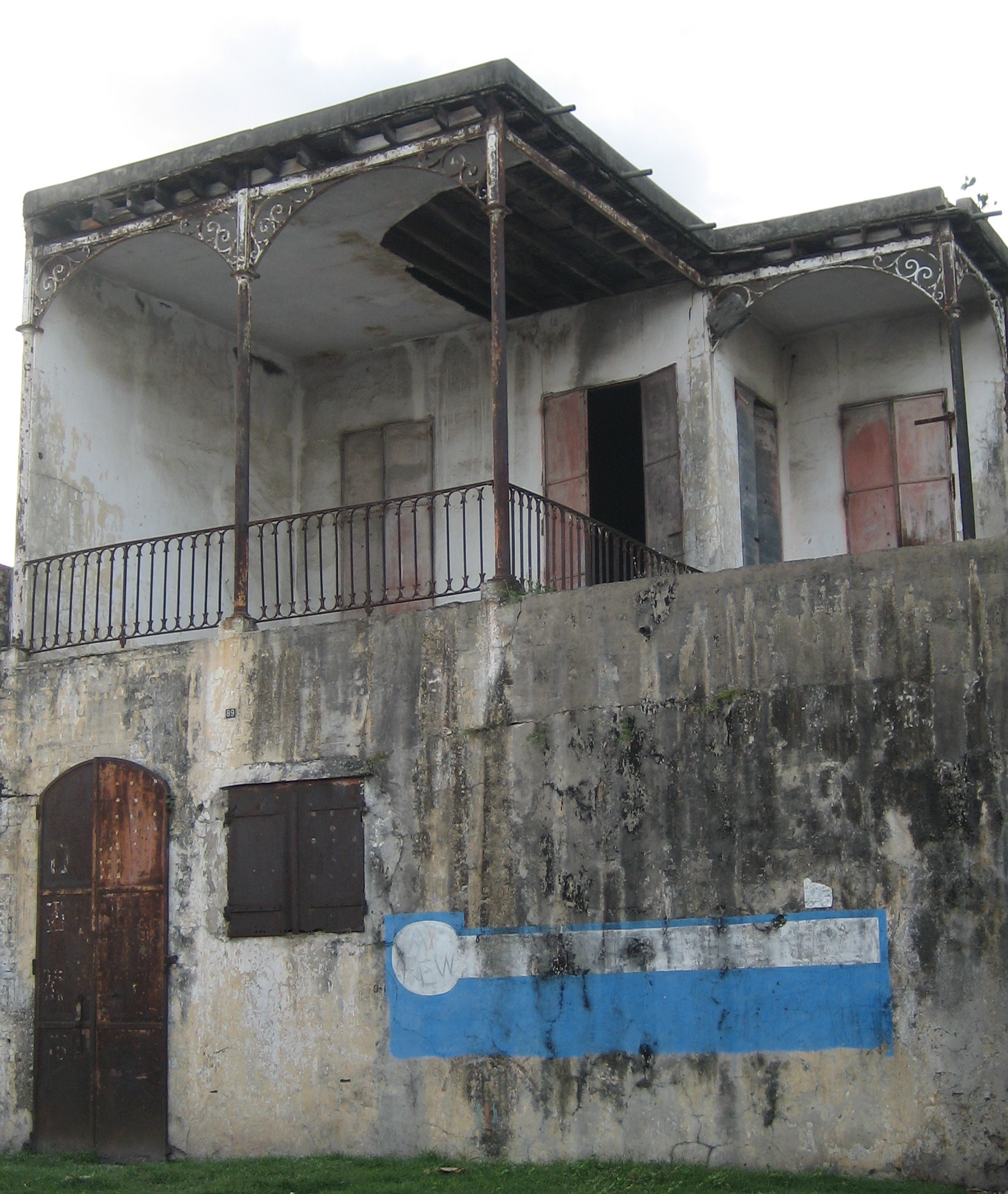
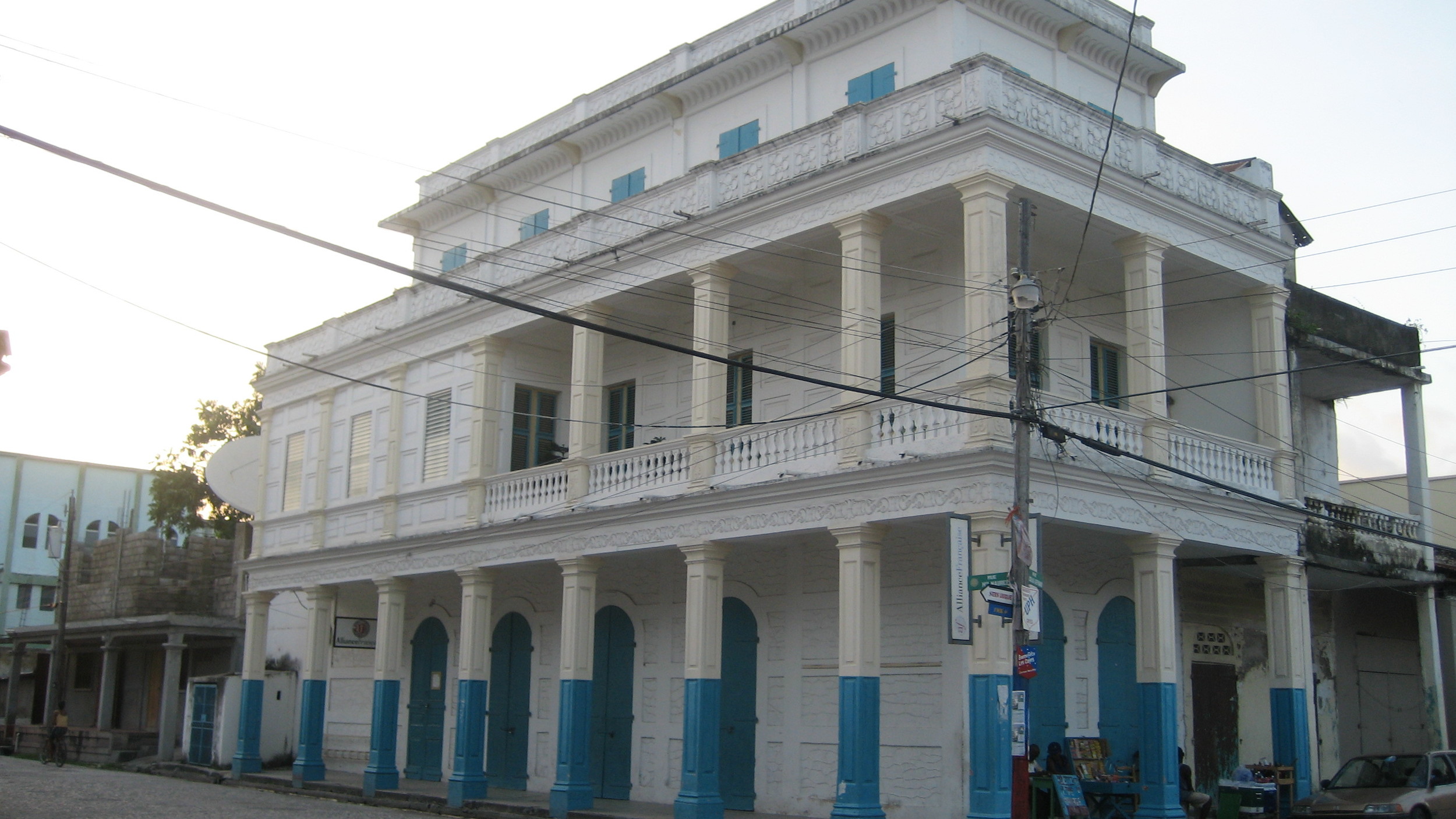
Downtown Cayes
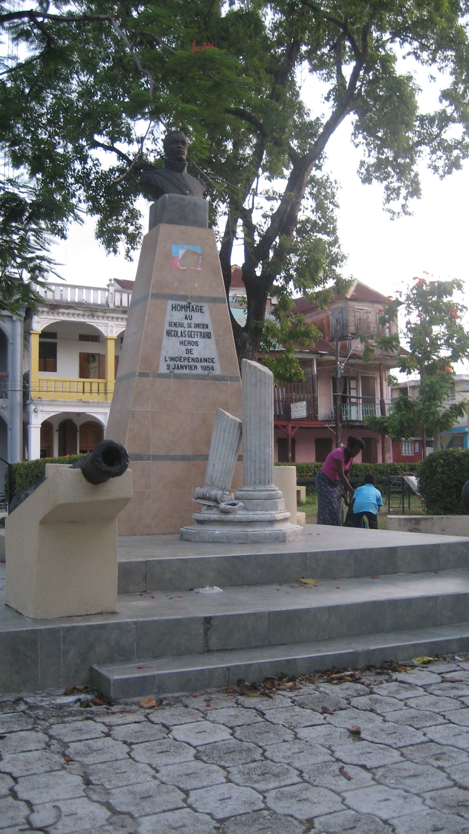
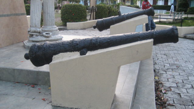
A few photos of the oldest parts of town, including the main square--the Place d’Armes--including the statue of Geffrard. Apparently, his body was buried in the Fortresse des Platons (see that gallery), while his heart was buried at the foot of the tree of liberty in this square here. An 1857 map is of interest. A 1786 map is linked here. An 1803 map by a French general, Brunet, focuses on defenses and locations of the "brigands," (the soon-to-be victorious Haitians).
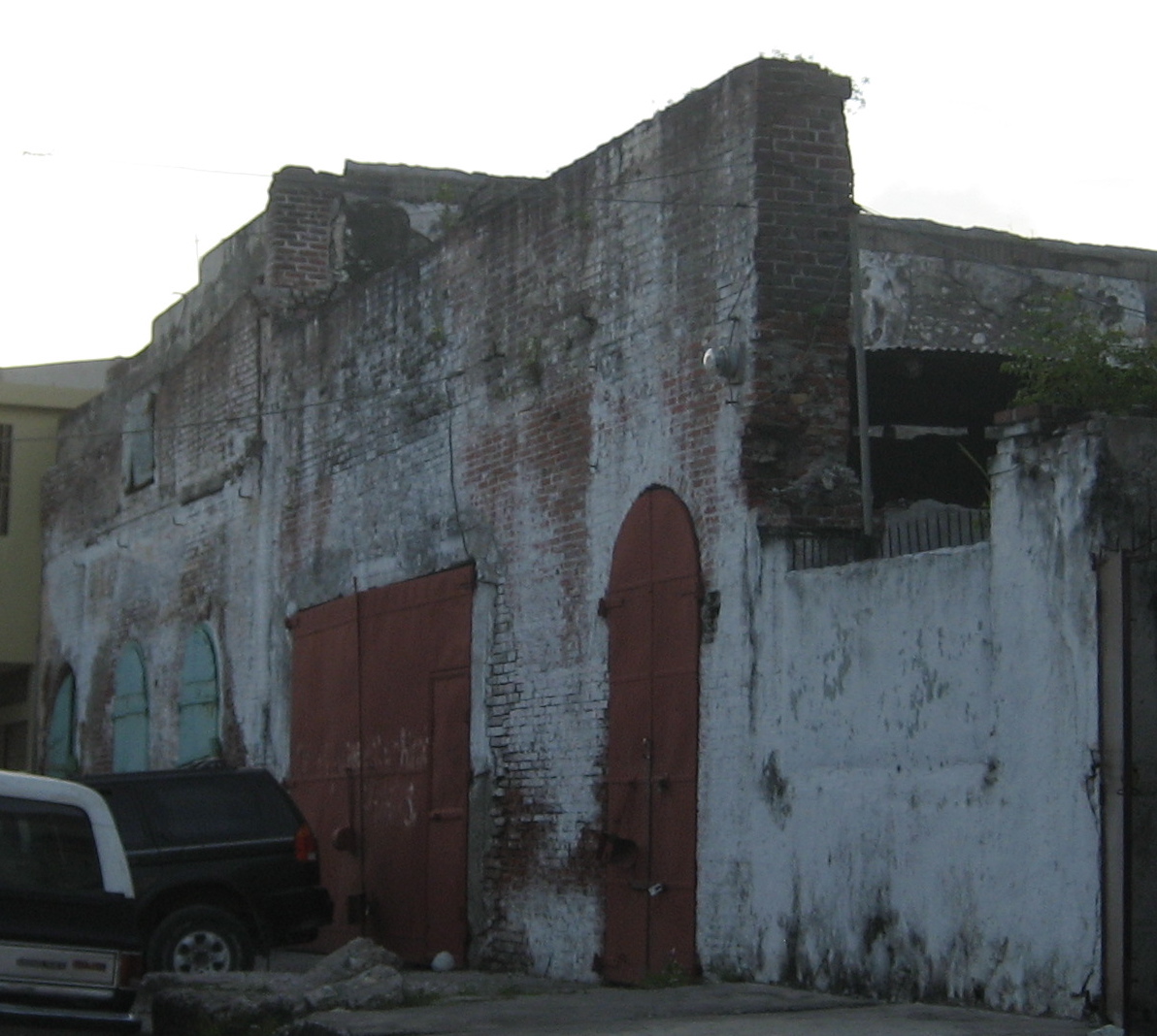
Fort Ilet and La Tourterelle
Several of Haiti’s sea-side forts are no more. These include Fort Ilet and La Tourterelle–now underwater. When it's not too rough, I guess you can see some of the cannons under water. I waded out there, but I couldn’t see much. I would have loved to have snorkeled it. Locals have collected cannons and cannon balls, however. The maps listed in the gallery above all clearly show the fortifications.


Laval
I'm relying on years-old notes for locations out in the rich Cayes plain, but Brian Oakes has been really helpful in trying to put names and places together with approximate locations. I've used his help to put together a map at the bottom of the page (which I've divided into a northern and southern half for space constraints). All mistakes are my own, and I'd love further corrections. The first location in Laval has clearly been added to over the years, but the older bones of the place are still visible. My notes called it Picot in Laval, but the Picot plantation was a separate location, so I'm not sure to which these buildings belonged. You can see the Laval and Picot (and Ti Picot) land clearly marked along the Ravine du Sud in this 1786 map here. The second site was also called Laval by those I met, but the area was more specifically called Zone Aga.


Habitation Laborde
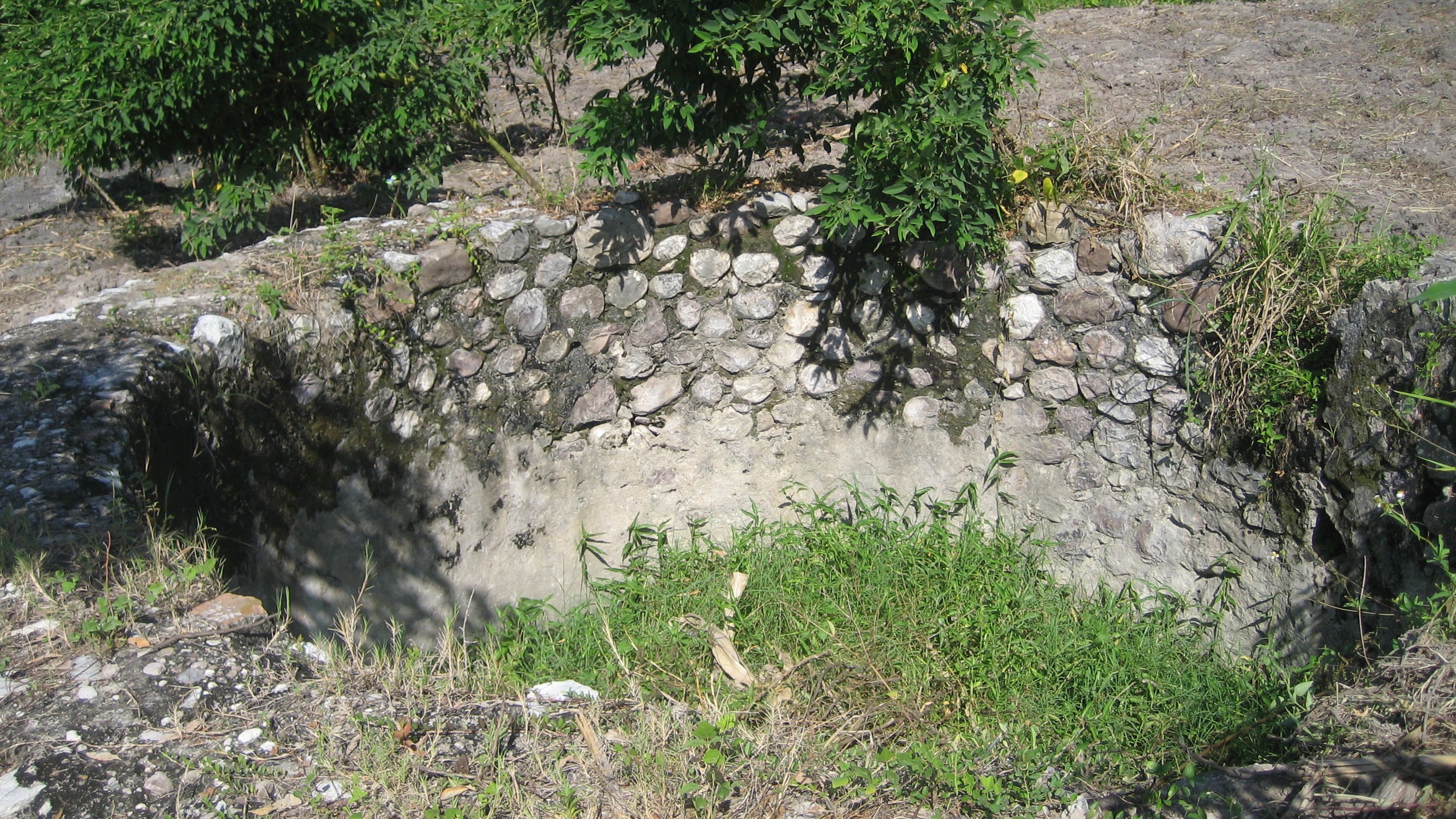
The Laborde plantation was supposed to have been one of the biggest in the Cayes region. These ruins are on the west side of the road from Camp Perrin to Cayes at the school and agronomist project behind the big Catholic church. While the tunnel in one direction has been excavated totally for quite a distance, the tunnel in the other direction hadn’t been excavated (during my 2007 visit). There was also a very cool well nearby, but my camera died and the one picture I took couldn’t do it justice. Go see it yourself, and send me a picture please!


Cayes airport-area ruins
These 2 sites are easily accessible from the airport. The first is the aqueduct just north of the airport. I first saw it flying out of Cayes and found it on a return visit. There are some small outbuildings near it; it's quite long. Locals referred to it as "Mezy" in my notes. I'm assuming it's part of the Comte de Mercy's land indicated in this 1786 map (in the upper right quadrant to the east of the Ravine due Sud and below the Laborde plantation). The second site is just south of the airport, on the west side of the road at an intersection. It looks like the Cambry plantation from the map above, but Brian Oakes thinks it's the Laval mill. Any other suggestions welcome!


President Simon
This area focuses on the area around President Simon's house and family cemetery, the latter in Fon Fred (the Fonfrede of this 1786 map here). The chimney is on the west side of the road by a vetiver field just before the round-about going into town. We entered by going right after the round-about and entered by a side road to see the chimney, which has original work covered with cement. Nearby were some brick ruins with some interesting details. Just past this was the home of President Simon, a ruin but with some interesting details, particularly the tile. The family plot is just beyond the Eglise Fon Fred. The whole Picot, Laval, Fon Fred, and airport area is filled with really old cemeteries that deserve some attention. Simon is buried in the center, surrounded by both older and newer graves. Simon's tomb had an extensive marble plaque.


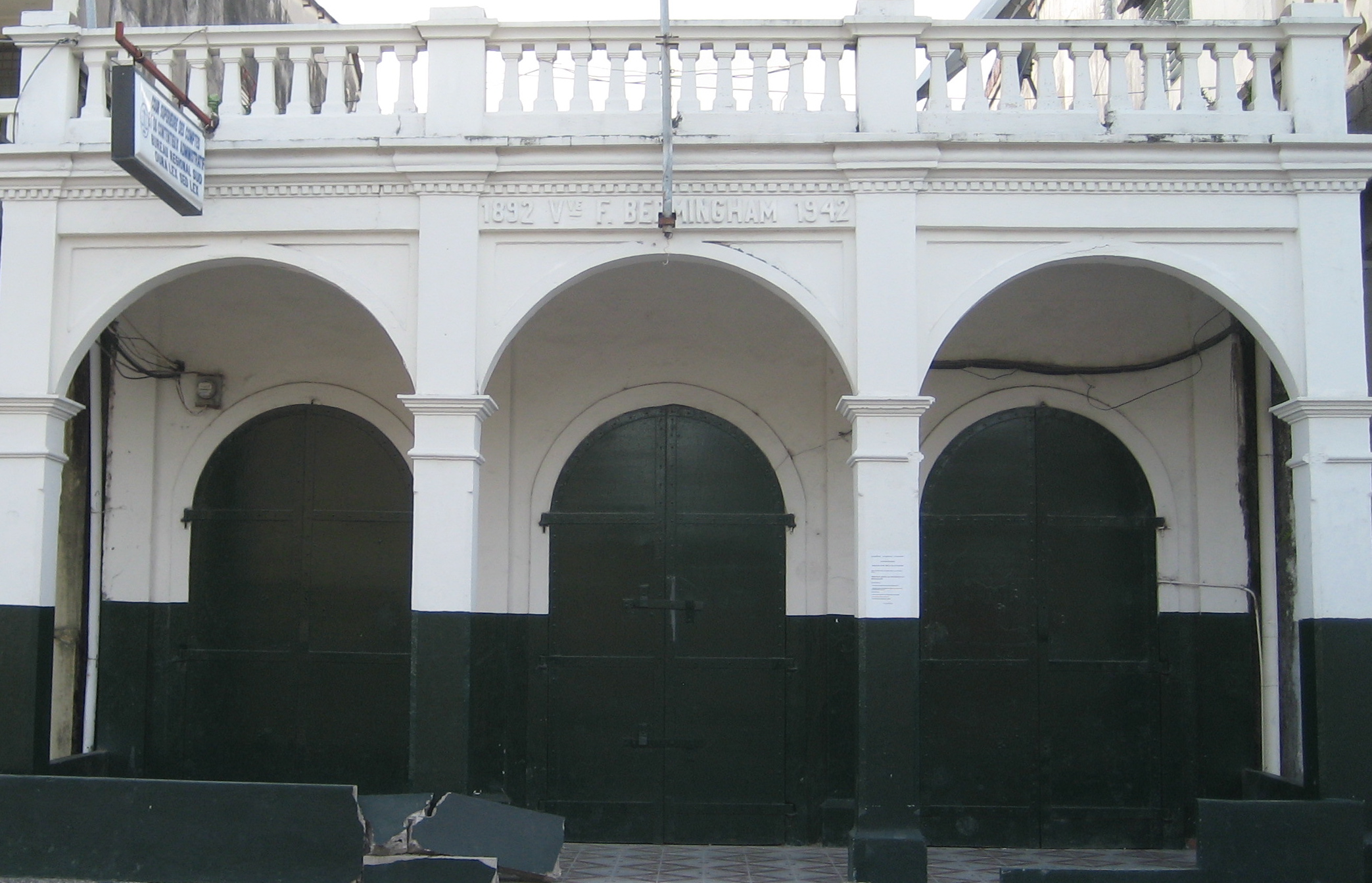
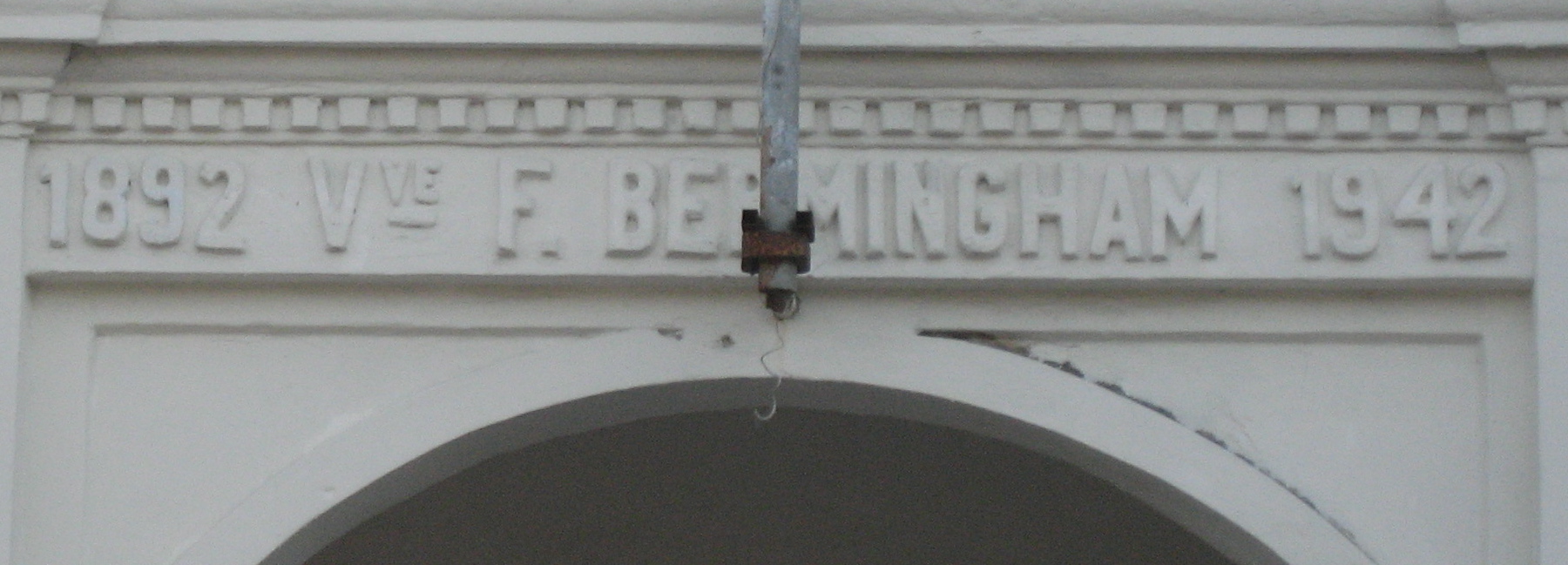
Habitation Pemerle
Habitation Pemerle’s 2006 plaque notes it was the home of one of the most important fighters in the Revolution, Martial Pemerle. This site is near Camp Gérard and has a unique double tower structure: unlike anything I’ve seen elsewhere in Haiti.


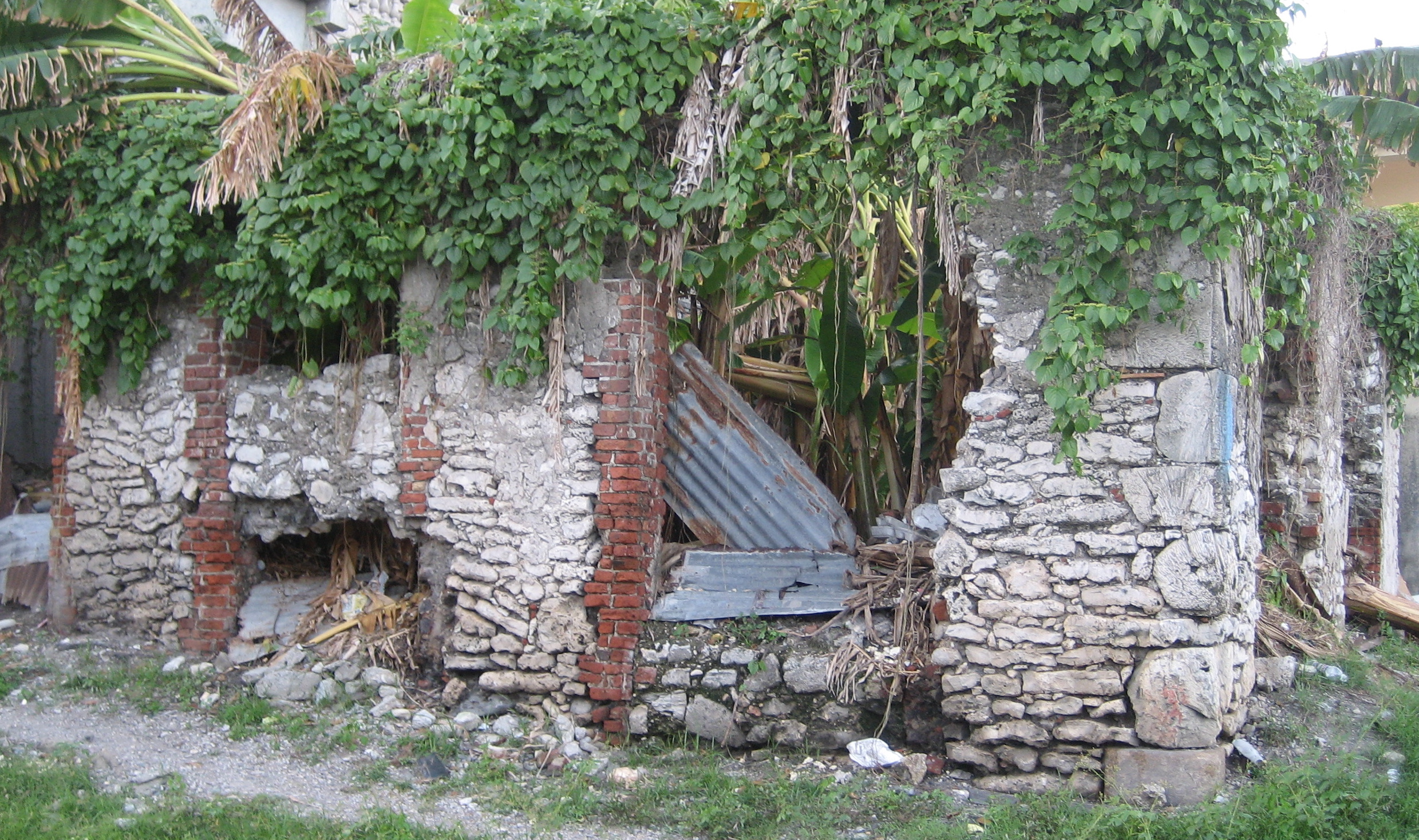
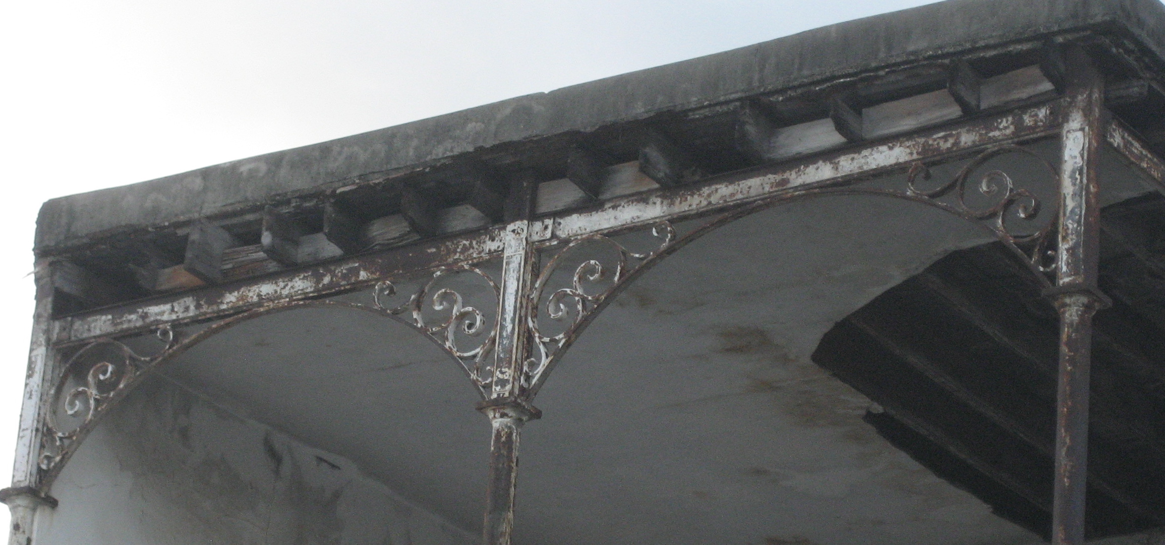
Habitation Bourjoly/Borgella?
My original notes had this site called Bourjoly in Picot, but unless I got totally turned around (which is possible), my memory is that it was closer to the area called Picault on this map, not Bourjoly (just south of the present airport). There was a beautiful tree-lined drive up from the main road to this location and extensive ruins, including étuves and interesting details like this cannon-shaped gutter. Although a beautiful detail in its way, it also underlines the violence that undergirded the whole plantation system.

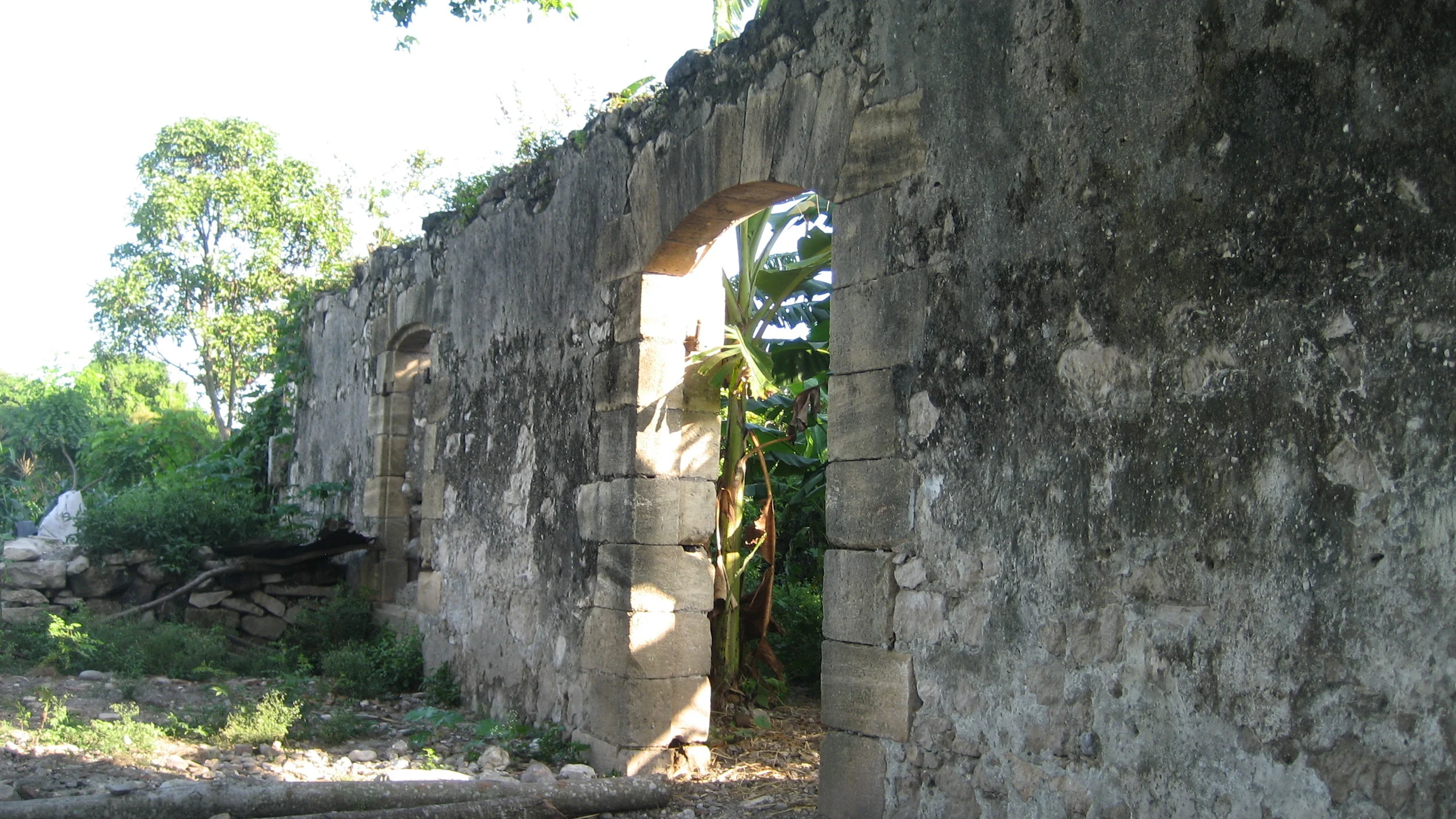
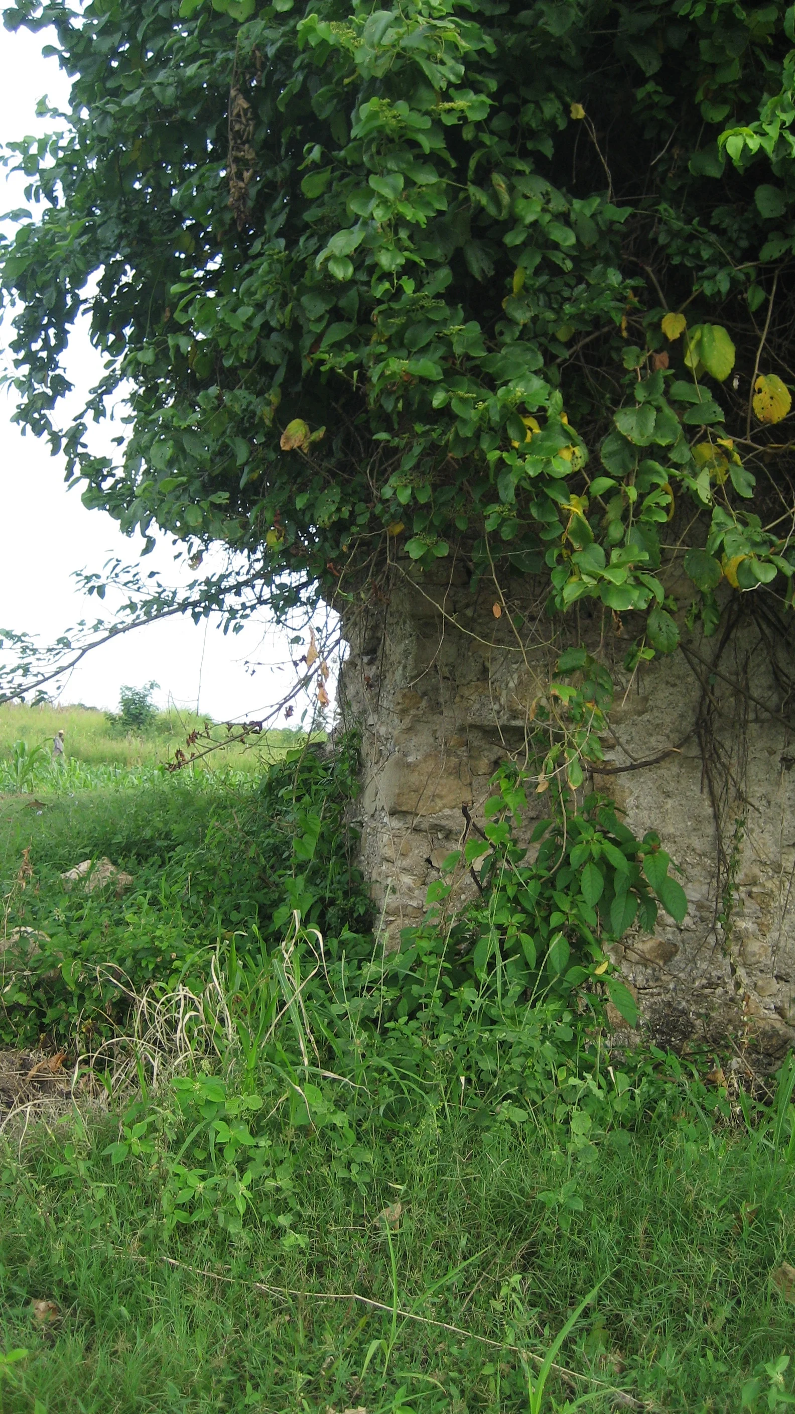
Cayes Plain general
This gallery features a variety of sites and only underscores the wealth of historical material on the Cayes plain. The first site--in brick--was near Fon Fred and was described to me as Kaliko; apparently there was more of this brickwork, but I was told it had been taken apart for materials. The next sites of Beraud and du Rocher (described as Diroché to me) are evident in the 1786 map as well. Of particular interest was the 2nd site at Diroché, with a sort of unusual buttressing. The Bois Landry site features a brick and rock culvert, a chimney, and evidence of re-use of the site at a later date (a cement cistern, etc). The Kakonde (spelling help? is it Kay Condé?) site was in use, and the ruins were being cleaned up.
Notes on maps below: Some of these sites are exact, some are approximate. A lot of these place markers are from the super helpful Brian Oakes--all mistakes are my own. In some cases, Oakes has supplied the location of the original plantation site, but my photos might be of nearby ruins. Unfortunately, all pictures were taken without GPS. In the southern map, locations are even more approximate, with some guesses. Anyone going out and looking for these particular sites will be helped by descriptions with photos but should also find other interesting sites.